Cass Lake Live Cam
Surrounded by beautiful Pike Bay Township
Hosted by:
- Sunset Cove Resort & Allen’s Bay Lodge & Grill
- 4083 Kangas Curve Road SE - Cass Lake
- Minnesota 56633 - United States
- 1-800-279-4831
- https://www.sunsetcove-resort.com/
What You're Watching
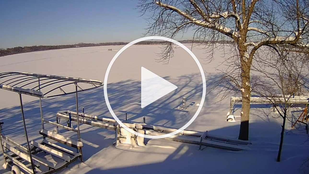
This camera provides a live view of Cass Lake. Leech Lake Indian Reservation Trying to figure out where we are located, need better information about the best route to get you here, or how to find one of our great towns or lakes? Well, we are located in northcentral Minnesota's beautiful "lakes and woods" country - the heart of the state's "land of sky blue waters". We are a big county, the state's sixth largest (approximately the size of th.
Best Times to Watch
| Time / Period | What to expect |
|---|---|
| Early mornings 6–9am local | Quietest — best light on water; surfers and fishermen active |
| Midday (11am–2pm) in season | Peak beach activity; clearest water visibility in sunlight |
| Sunset | Golden light — often most visually dramatic period |
| Storm / approaching weather | Check wave size and conditions before visiting |
Quick Facts
- 📍 Location: Cass Lake, USA
- 🕐 Timezone: IST (UTC+5:30)
- 🌐 Stream: Live 24 hours a day, 7 days a week
- 📡 Page: https://www.iplivecams.com/live-cams/cove-resort-allens-bay-lodge-cass-lake-minnesota-united-states/
History & Context
Leech Lake Indian Reservation Trying to figure out where we are located, need better information about the best route to get you here, or how to find one of our great towns or lakes? Well, we are located in northcentral Minnesota's beautiful "lakes and woods" country - the heart of the state's "land of sky blue waters". We are a big county, the state's sixth largest (approximately the size of the State of Delaware). Our borders are about 2 1/2 hours drive time from Minneapolis-St.Paul, and 2 hours from both Duluth and Fargo, North Dakota.
Nearby Cameras
- Search for more cameras from this region using the live cam directory
- Browse by country at the countries index
- Browse US cameras by state at U.S. Webcams