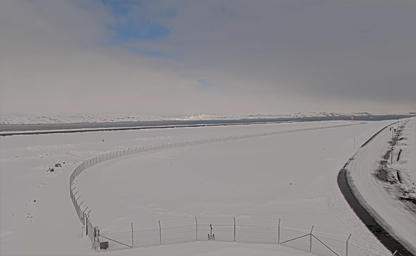

Nuuk International Airport
The airport is the hub and technical base for Air Greenland
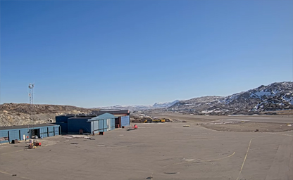
The entire Disko Bay Region, the North and West Greenland
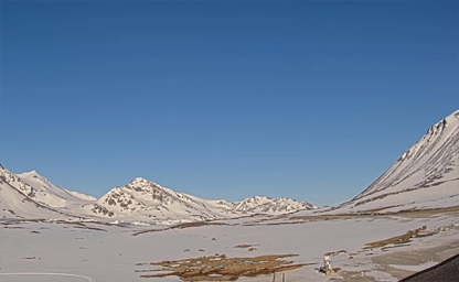
Located in the Sermersooq municipality in southeastern Greenland
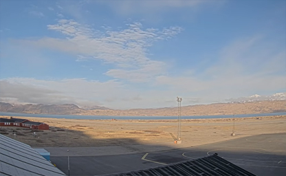
It is one of three civilian airports in Greenland capable of serving large airliners
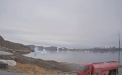
Located from a town in the Kujalleq municipality in southern Greenland
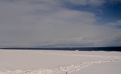
Located on the Nuussuaq Peninsula in Avannaata municipality in northwestern Greenland
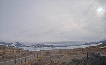
Located from a town in the Kujalleq municipality
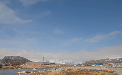
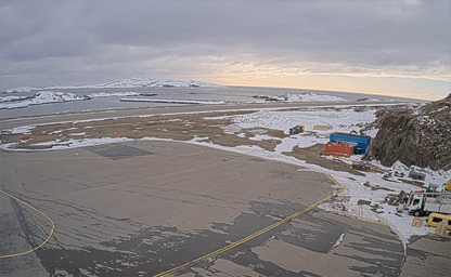
An airport located 2.2 NM northwest of Sisimiut
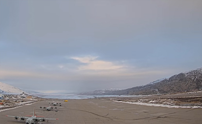
It is situated at the head of the fjord of the same name (Søndrestrøm in Danish)
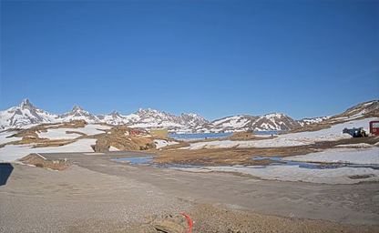
Situated on the Ammassalik Island in the Sermersooq municipality
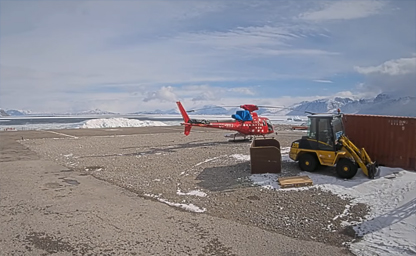
Situated on Nuussuaq Peninsula on the other side of the Uummannaq fjord
Imagine waking up to the ethereal glow of the Arctic dawn, icebergs drifting serenely across glassy waters, and the distant howl of a hunting wolf—no plane ticket required. Thanks to a network of high-definition online cameras scattered across Greenland, you can immerse yourself in the raw, untouched beauty of the world’s largest island from the comfort of your own home. Whether you’re a seasoned adventurer planning your next expedition or a curious armchair traveler seeking a glimpse of the extraordinary, Greenland’s live webcams offer an unparalleled virtual journey into the heart of the Arctic.
Start your virtual tour in Nuuk, Greenland’s vibrant capital. Perched on the edge of a rocky fjord, Nuuk’s waterfront webcam streams real-time views of colorful houses, modern architecture, and bobbing fishing boats against a backdrop of snow-capped peaks. Watch as seals surface in the harbor, fishing vessels navigate the fjord, and local residents stroll along the waterfront boardwalk, bundled in parkas and scarves. Here, the pulse of Arctic life comes alive in every sunrise and sunset—visible through crisp, clear imagery that updates by the second.
Venture northward to the UNESCO-listed Ilulissat Icefjord, a place where colossal icebergs calve from the Sermeq Kujalleq glacier and drift majestically into Disko Bay. The live-feed camera here captures the thunderous breaks and slow-motion ballet of ice as it tumbles into the sea, illuminated by the soft pastel light of Arctic day and the vivid greens and purples of the aurora borealis by night. From the comfort of your living room, you can witness the glacier’s seasonal dance—icy cathedrals forming and dissolving, each frame more mesmerizing than the last.
For wildlife enthusiasts, the Kangerlussuaq webcam offers a front-row seat to Arctic fauna in their natural habitat. Set against a sprawling tundra plain, this camera showcases musk oxen grazing on sparse vegetation, Arctic hares darting among rocks, and ptarmigans flitting across snow-dusted hills. In winter months, watch for the luminous glow of the northern lights arching across a starlit sky, while polar bears occasionally wander into view, their snowy coats blending seamlessly with the frozen landscape.
Head east to the remote settlement of Tasiilaq, where a coastal webcam reveals rugged cliffs, ice-laden fjords, and traditional wooden boats bobbing in icy waters. Follow the shifting shoreline as pack ice breaks apart in spring or thickens into a solid expanse in winter. Local Inughuit fishermen can sometimes be seen hauling nets from small kayaks, a glimpse into centuries-old practices that endure in one of the world’s most challenging environments.
Greensland’s online camera network isn’t just for sightseeing—it’s a powerful educational tool and a conservation sentinel. Researchers use time-lapse footage to monitor glacial retreat, sea ice patterns, and wildlife migrations, while schools worldwide stream the feeds to bring Arctic science lessons to life. By tuning in, you become part of a global community dedicated to understanding and protecting this fragile ecosystem.
Ready to experience Greenland in real time? Simply visit the official Greenlandic tourism portal or search for “Greenland live webcams” to find dozens of high-definition streams, available 24/7 and optimized for all devices. Bookmark your favorite viewpoints, set up a digital slideshow of rotating streams, or share extraordinary moments on social media as they happen—an iceberg calving at midnight, a polar fox trotting across the snow, or the first shimmering ribbons of the northern lights.
Whether you’re planning an Arctic expedition or simply seeking a daily dose of natural wonder, Greenland’s live cameras open a window to a world of ice and light that few ever see in person. Dive in, explore relentlessly, and let the frozen landscapes of Greenland captivate you—one stunning, real-time image at a time.
The story of Greenland history spans millennia, with the earliest known inhabitants arriving along the southern coasts around 2500 BCE. These Paleo-Eskimo peoples, ancestors of today’s Kalaallit Inuit, thrived in Arctic conditions by mastering sea ice travel and hunting seals, narwhals, and polar bears. Their distinctive tools, crafted from bone and antler, reveal a sophisticated adaptation to one of the planet’s harshest environments. By 986 CE, the narrative of Greenland expanded dramatically with the arrival of Norse settlers under the leadership of Erik the Red. Driven by both exile and ambition, these Norse colonists established communities at Brattahlíð (modern Qassiarsuk) and other sites along the southwest coast, leaving behind remnants of their farmsteads, churches, and burial grounds.
During the medieval period, these Viking settlements flourished for nearly five centuries, trading walrus ivory and reindeer hides with Europe and interacting intermittently with the indigenous Inuit. Archaeological excavations at Hvalsey and Herjolfsnes have unearthed stone foundations and artifacts that testify to a vibrant Greenland Norse society. However, a combination of climatic cooling during the Little Ice Age, isolation from European supply networks, and possible conflicts with Inuit groups led to the mysterious disappearance of these Norse communities around the 15th century—an enduring chapter in Greenland history that continues to fascinate historians and archaeologists.
In the 18th century, Denmark-Norway reasserted its interest in Greenland, sending missionaries and establishing trading posts along the western shore. The Royal Greenland Trading Company controlled commerce and resource extraction, influencing local economies and settlement patterns. Inuit traditions coexisted and sometimes clashed with Danish colonial governance, leading to a unique cultural blending evident in language, handicrafts, and cuisine. By the early 20th century, Greenland’s strategic location in the North Atlantic attracted military attention; during World War II, a Greenland weather station provided critical meteorological data for Allied convoys and air routes.
Following the war, Greenland’s status evolved under the 1953 Danish Constitution, transforming the territory into an integral part of the Kingdom of Denmark. The move catalyzed social development, infrastructure expansion, and migration from remote camps to emerging towns such as Nuuk, Sisimiut, and Ilulissat. In 1979, Home Rule granted Greenlanders autonomy over internal affairs, and in 2009, the Self-Government Act further expanded legislative powers, allowing for greater control of natural resource exploitation. Today, Greenland history is marked by a resilient culture that balances Inuit heritage with modern aspirations in fields ranging from fisheries and tourism to renewable energy exploration.
Greenland climate is characterized by extremes that encapsulate the essence of the Arctic. The vast Greenland ice sheet, covering approximately 1.7 million square kilometers, exerts a profound influence on regional weather patterns. Inland, temperatures remain below freezing for most of the year, with the central plateau registering averages of –30 °C in winter and barely tipping above 0 °C in summer. Along the coast, particularly in the southwest where the majority of settlements lie, a maritime Arctic climate prevails. Here, winter temperatures hover around –10 °C, while summer highs can reach 10–12 °C, offering a brief window for verdant tundra blooms and migratory bird nesting.
Climate change has emerged as a pivotal keyword in discussions of Greenland, as rising global temperatures accelerate ice sheet melt and glacier retreat. Satellite imagery reveals dramatic calving events at Jakobshavn Glacier, which discharges vast icebergs into Disko Bay. These phenomena not only reshape the landscape but also intensify concerns about sea-level rise worldwide. Research stations across Greenland monitor shifts in precipitation patterns, permafrost stability, and ocean currents. The interplay between the Greenland ice sheet and the North Atlantic’s circulation underscores the island’s critical role in Earth’s climate system and highlights Greenland climate change as a topic of global significance.
Seasonal phenomena such as the Midnight Sun and the Northern Lights define the visitor experience and weave into Greenland tourism marketing. From late May to late July, the sun remains above the horizon for up to 24 hours, illuminating icebergs that drift serenely along fjords. Conversely, from late November to late February, the Polar Night envelops the landscape in darkness, creating optimal conditions for Aurora Borealis displays. Travelers seeking the ethereal glow often journey to remote outposts like Kangerlussuaq or the Arctic Circle Trail, where minimal light pollution enhances the spectacle. These climatic marvels contribute to Greenland’s burgeoning reputation as an adventure destination for nature photography, wildlife viewing, and scientific expedition tourism.
Greenland geography is defined by its status as the world’s largest island that is not a continent, spanning over 2 million square kilometers. Approximately 80% of this expanse is covered by the Greenland ice sheet, the second-largest body of ice after Antarctica. Along the periphery, a rugged coastline stretches for some 44,000 kilometers, dissected by deep fjords, glacial valleys, and narrow peninsulas. Major fjord systems such as Scoresby Sund on the east coast carve into the interior, forming the largest and deepest fjord complex in the Arctic region. These channels, some over 350 kilometers long, serve as navigable waterways for expedition ships and are home to a surprising diversity of marine life.
Topographically, Greenland rises from sea level to peaks exceeding 3,000 meters in the Watkins Range, near Gunnbjørn Fjeld—the island’s highest summit. These mountainous regions are heavily glaciated, with valley glaciers cascading into coastal inlets. The interplay between ice and rock has sculpted landscapes of surreal beauty: polished granite cliffs flank crystal-clear lakes, while erratic boulders hint at glacial transport. In summer, meltwater rivers thread across the tundra, carving braided channels rich in sediment that nourish mosses and lichens. This intricate mosaic of ice, rock, and tundra underlies key Greenland geography keywords that draw interest from geologists, hikers, and photographers alike.
The human geography of Greenland reflects adaptation to isolated conditions. Coastal settlements cluster where fjords offer navigable access to fishing grounds and protection from pack ice. Nuuk, the capital, sits at the head of the fjord of the same name, where modern architecture and colorful wooden houses form an urban hub against a backdrop of steep hills. Other towns—like Ilulissat, famed for iceberg-calving tours, and Tasiilaq, gateway to the Ammassalik region—exemplify the fusion of traditional Inuit sod-roofed dwellings with contemporary infrastructure. Transportation remains a mix of small ships, helicopters, and fixed-wing aircraft, as no road network links the overland towns.
Wildlife corridors intersect Greenland’s coastal and inland ecosystems. Caribou herds migrate along the tundra in summer months, while polar bears roam the sea ice hunting seals. Bird enthusiasts target breeding colonies of Arctic terns, puffins, and guillemots that nest on sheer coastal cliffs. In fjord waters, humpback whales and narwhals surface amid breaking icebergs. These natural riches feed into Greenland tourism packages, offering wildlife safaris by boat, guided hikes alongside muskoxen, and birdwatching adventures. Emphasizing sustainable travel, tour operators highlight low-impact lodges and local guiding services to preserve fragile Arctic environments.
Geothermal springs, hot springs, and underground reservoirs also feature in the island’s physical fabric. In regions like Uunartoq, geothermally heated pools offer opportunities for Arctic bathing, blending relaxation with a sense of discovery. These lesser-known geothermal sites exemplify Greenland geography’s underexplored dimensions, catering to niche markets such as wellness tourism and geological research excursions. Adventure seekers often combine glacier trekking with spring-based relaxation, creating balanced itineraries that showcase both dynamic and restorative aspects of Greenland’s landscape.
New Tip: For an unforgettable perspective on Greenland’s glaciers, book a helicopter flight that lands on an icecap plateau—this aerial insight reveals crevasse patterns and meltwater channels invisible from sea level.
Interesting Fact: Beneath the Greenland ice sheet lies a network of subglacial lakes and rivers, some of which have been isolated for thousands of years and harbor unique microbial life forms adapted to extreme cold and pressure.